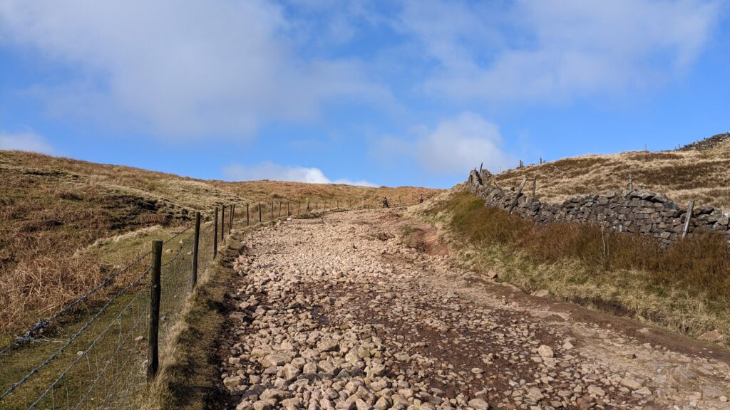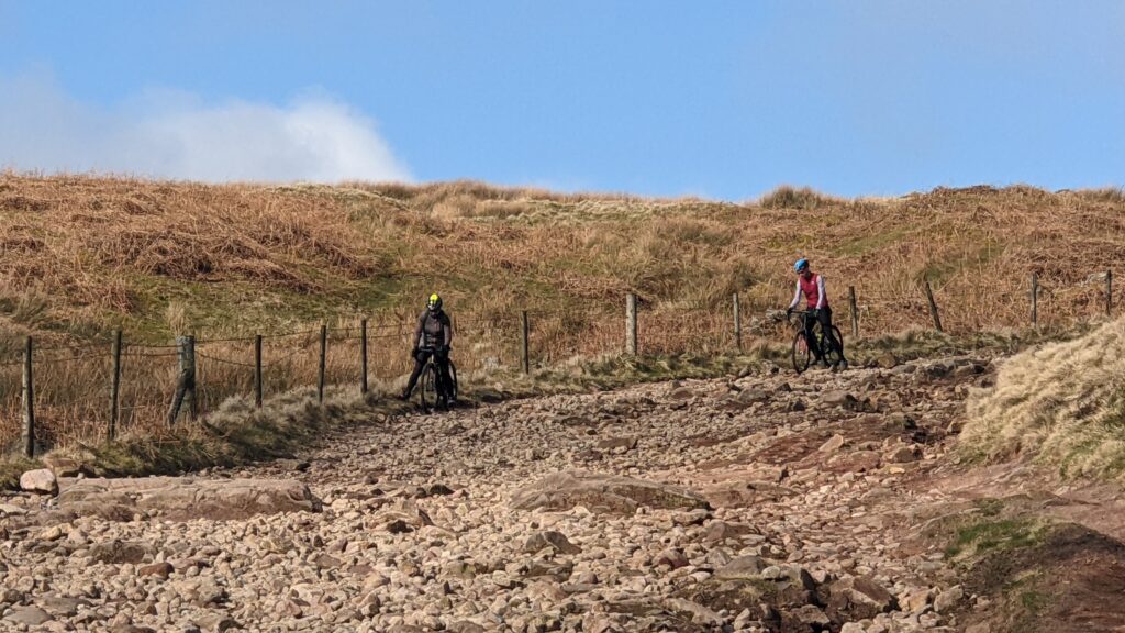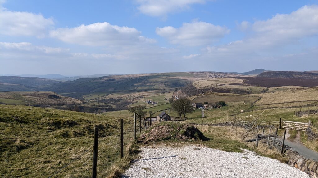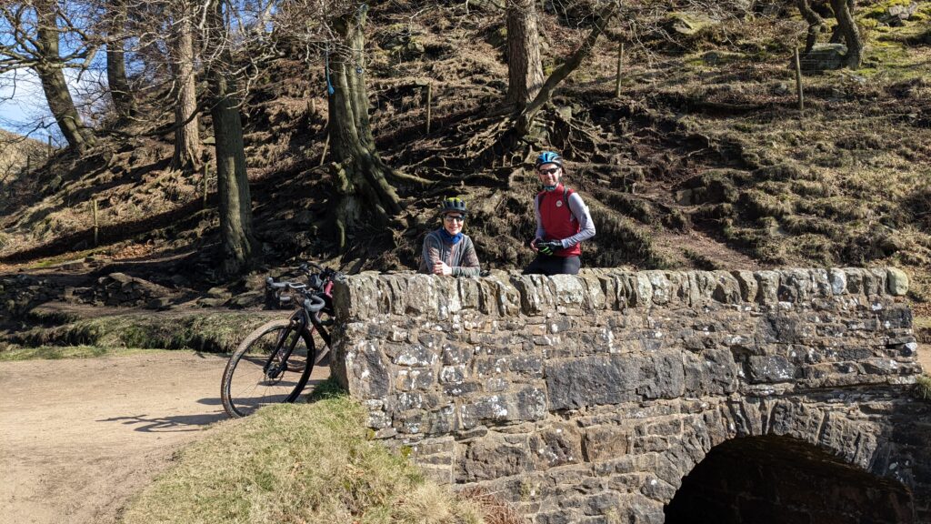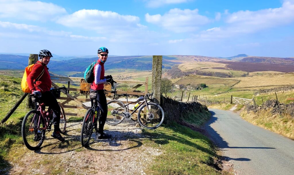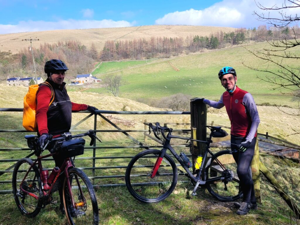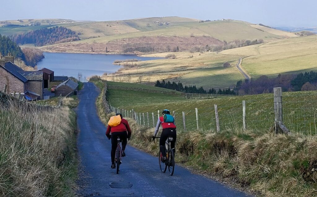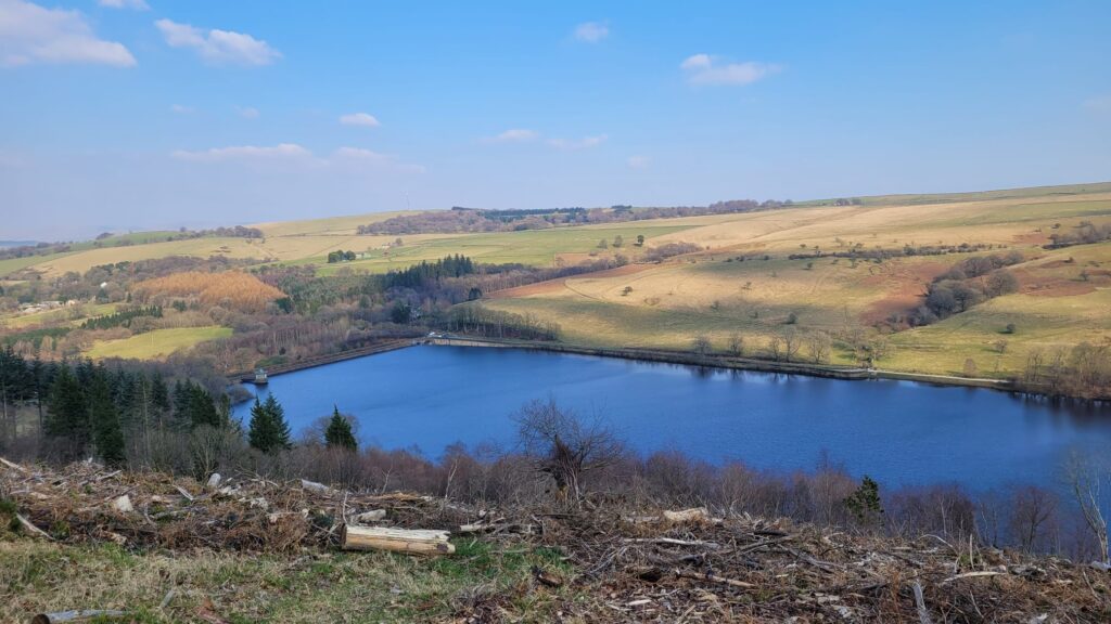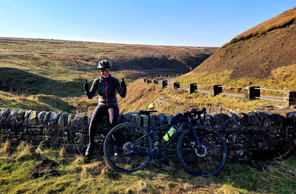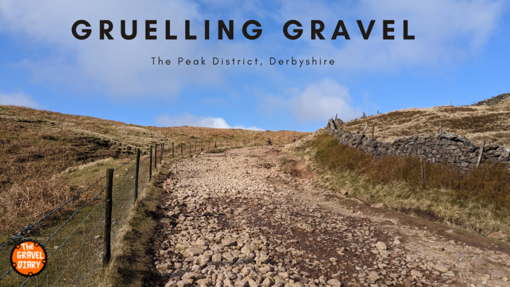
The route starts with the Buxton Old Coach Road. probably too early into the ride for such intense gravel so take it easy as there is a long way to go.
Parking just down the road from the infamous Cat & Fiddle Inn at the Derbyshire Bridge Car Park (1) which is ideally positioned at the start of the Old Coach Road.
The car park offers free parking and has a toilet block, with parking available for vans.
GPS File: https://www.komoot.com/tour/695029961?ref=wtd
The route can be done as one 30 mile loop or split into two 15 mile loops both being very different. Both loops run clockwise, the first being the south loop is quite technical in places and has varied types of gravel, from fast rolling to single track. This is probably more suited to those who like a challenge. It takes in some awesome views and passes through numbers 1 to 5 below.
The north loop is again 15 miles and is faster rolling gravel. More tarmac and just as amazing views. It has a small amount of technical gravel but mostly an easier loop thean the south loop.
- 1. Car Park: https://w3w.co/outhouse.colleague.self
- 2. Cromford & High Peak Trail: https://w3w.co/hammocks.cherubs.oblige
- 3. Flash Cafe: https://w3w.co/solder.helpfully.shams
- 4. Three Shires Head: https://w3w.co/pushover.tolerates.reward
- 5. Cat & Fiddle Inn: https://w3w.co/fiery.grit.sands
Loop 1, The South Loop
The Old Coach Road starts off very easy but as you head up the climb and crest the hill the descent offers some large rocks, sandstone slabs and some tricky small boulders to negociate. It is also a lot of fun and can get quite busy with walkers and runners as it links at the other end to the outskirts of Buxton.
Reaching the end of the Coach Road, it joins the tarmac then the route heads off to the right making its way across to the start of the Cromford & High Peak Trail (2)
There was a section on our route which was shortly after the Buxton Raceway that we followed a Bridleway that vanished, but luckily there was a footpath which we could follow to get ourselves back on route. If you watch the video this is where we are walking up the grass bank. I have adjusted the GPS file to avoid this section.
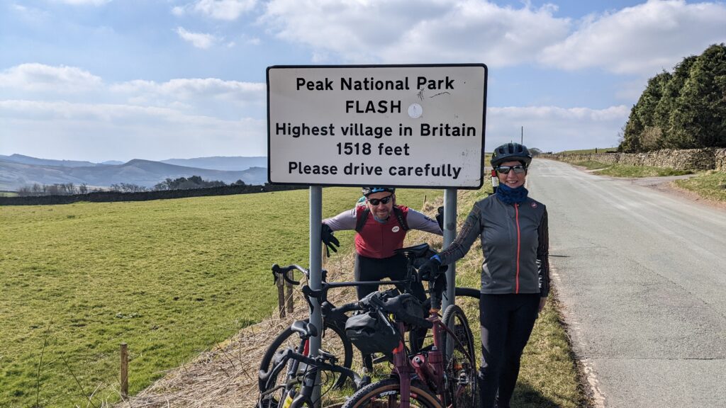
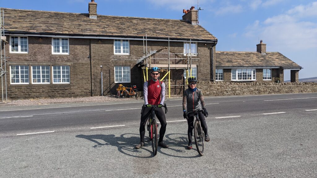
Shortly after this you will pass the cafe at Flash and although only about 9.5 miles from the start you may want a coffee and you will have earnt it. From the cafe you have a short stretch on the Leek Road (A53). This is a busy road especially at the weekend. The cafe is popular with motorbikes and they tend to ride this section of road fast. Turning right off the main road there is good visability but if you have day time running lights on your bike I would put them on for this section.
Heading into Flash which is the highest village in England, make sure you take the right fork in the village. Leaving Flash the road is nice and fast. Watch out for the Bridleway on your right hand side. From memory you take pass a farm enterence on the right then take a slight right hand and the Bridleway is on the right before the road bends left. It is a newly gravelled area with a gate. (https://w3w.co/lifeguard.hugs.bulbs).
Follow the Bridleway down to a short piece of single track and past a lovely stream before coming out onto a quiet back lane. We rode this on a Sunday and there were lots of trial bikes in this area so stay alert as they were crossing the stream and the lane.
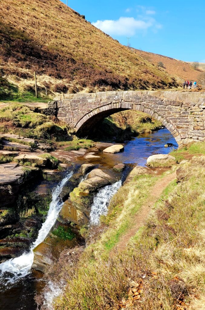
The land turns into a Bridleway and this drops steadily to the Three Shires Head which is a lovely spot for a snack.
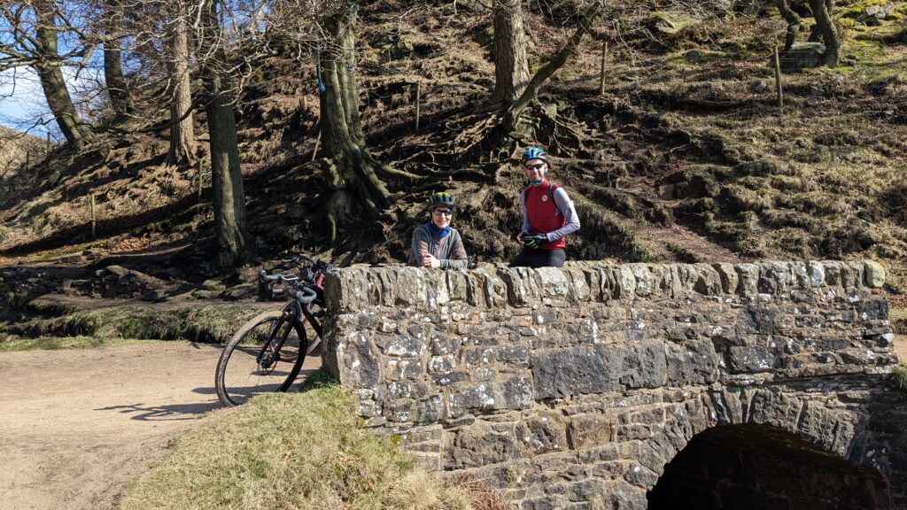
From here you climb back up to the Buxton Road, and you may need to walk bits but the views are great so just enjoy it. Once on the Buxton Road turn right and ride up to the crest of the hill where you will find another Bridleway on the left. Follow this across the peat moor directly to the front of the Cat & Fiddle.
That now completes the South Loop and the first 15 miles. If you want to finish here the car park is all down hill. Facing the Inn turn right along the main road and after about 300 yards turn left and this lane drops you into the car park.
Loop 2: The North Loop
- 6. Lamaload Reservoir: https://w3w.co/pirate.fluctuate.bashful
- 7. Pyms Chair: https://w3w.co/coupler.lateral.objective
- 8. Lovely Gravel: https://w3w.co/amplifier.breathed.super
- 9. Waterfall: https://w3w.co/verb.field.superbly
Turn left towards Macclesfield and look out for the track on the right. This just keeps you off the main road for a bit, follow this down to the cafe and back onto tha main road for 50 yards before turning left and down a hill. Be careful here you can easily hit speeds of over 40mph down this hill. Follow it round to the right at the bottom and enjoy the steady climb back up the other side. This section is all on Tarmac as you make your way past the first reservoir of this loop.
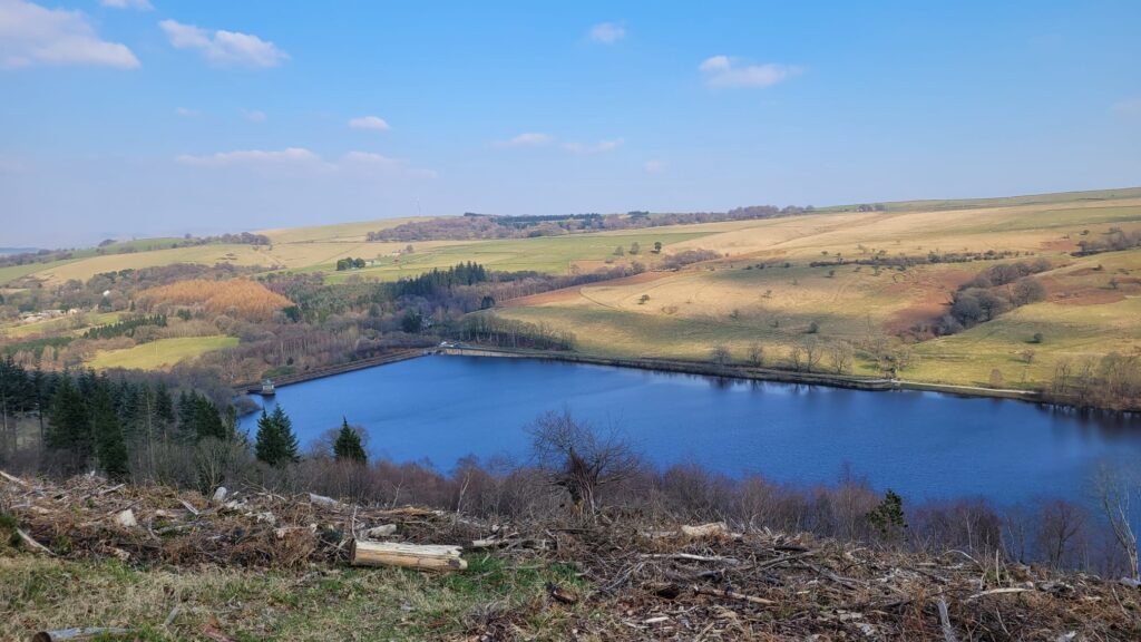
Although you are rewarded with tarmac the pay off are some tasty climbs of 20%. Just remember that once you are around 20 miles into this ride it is mostly down hill to Whaley Bridge. Just after 21 miles the tarmac is replaced with some lovely wide open gravel with stunning views over the reservoir below.
Follow this all the way into Whaley Bridge before heading back towards Fernilee on the main road called Long Hill. It may be long but it is not very steep at about 3%. There is a nice pub on the left (https://w3w.co/shepherdess.emporium.boating), which is probably the last chance for some drinks and food before you finish.
Just a bit further up the road you drop down to the side of the reservoir into the Goyt Valley and start to make your way up towards the car park. The climb starts just after 28 miles to the end so is about 3 miles in total. It is nice and steady at about 3 to 4%. A couple of bits hit 9% but not for long. The views are awesome so just drop into a comfy gear and enjoy the scenery.
